CountyAtlas District of Columbia
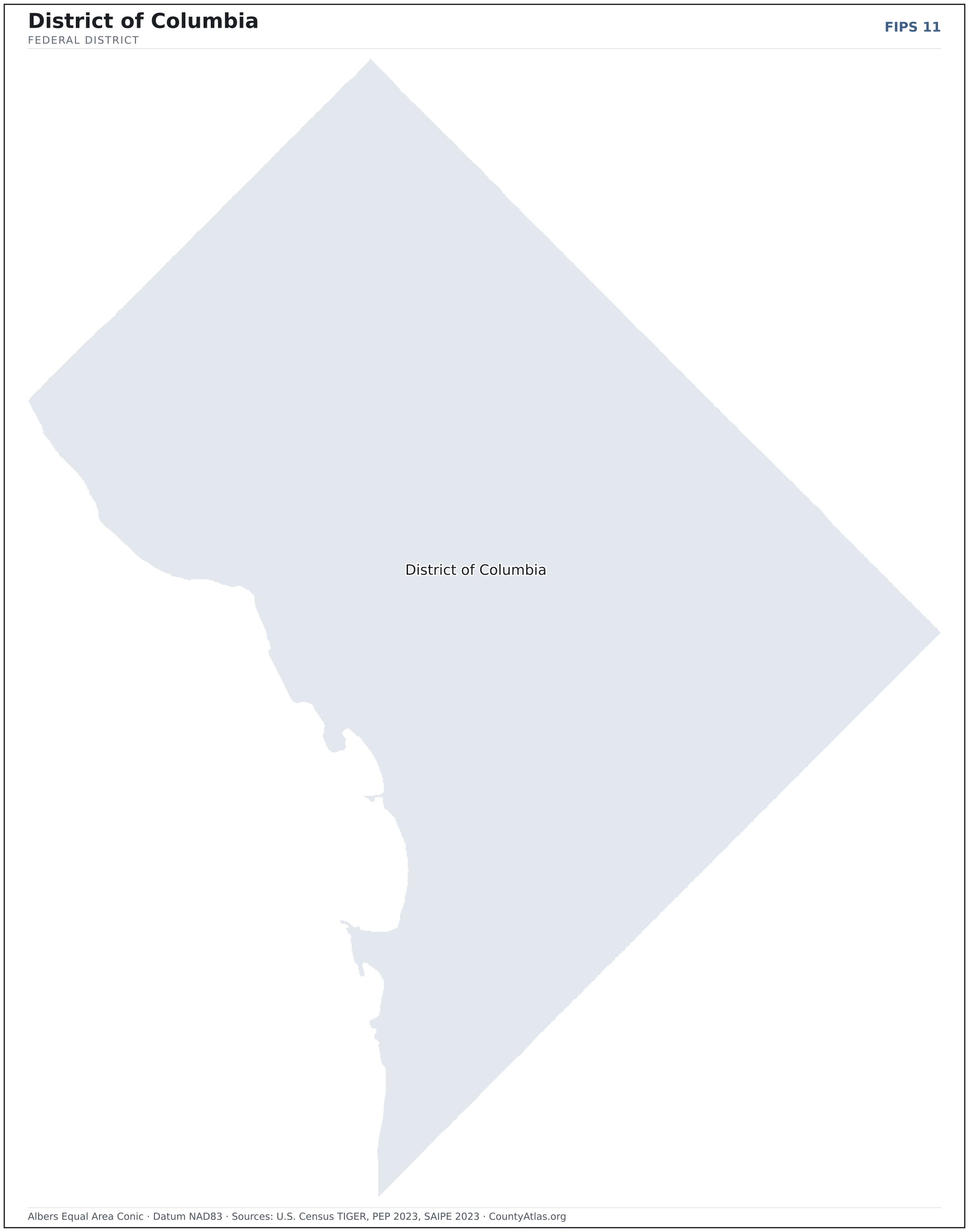
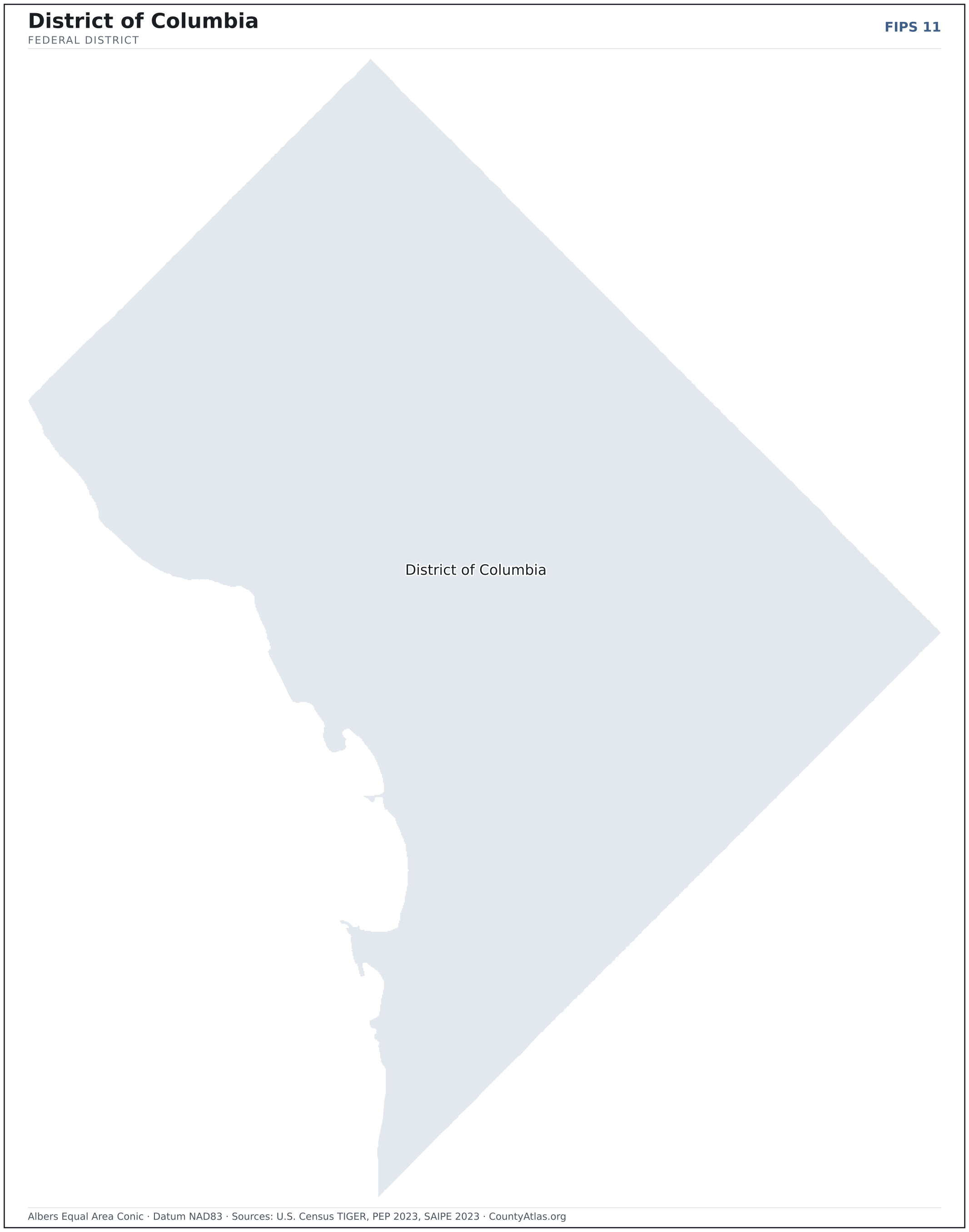
Washington, D.C. Map — the District of Columbia
Washington, D.C. is a single federal district — not divided into counties, and its own county-equivalent. Its population, land area, income, and unemployment, from official U.S. Census data.
District of ColumbiaFIPS 11
Albers Equal Area ConicDatum NAD83Census PEP · SAIPE · BLS LAUS · TIGER
CountyAtlasEdition
The District of Columbia at a glance
- Scale. District of Columbia covers 61 sq mi as a single federal district — not divided into counties. Census TIGER
- People. It is home to 678,972 residents, 11,107 per square mile. Census PEP 2023
- Water. Another 7 sq mi is water — 10.6% of the district’s area. Census TIGER
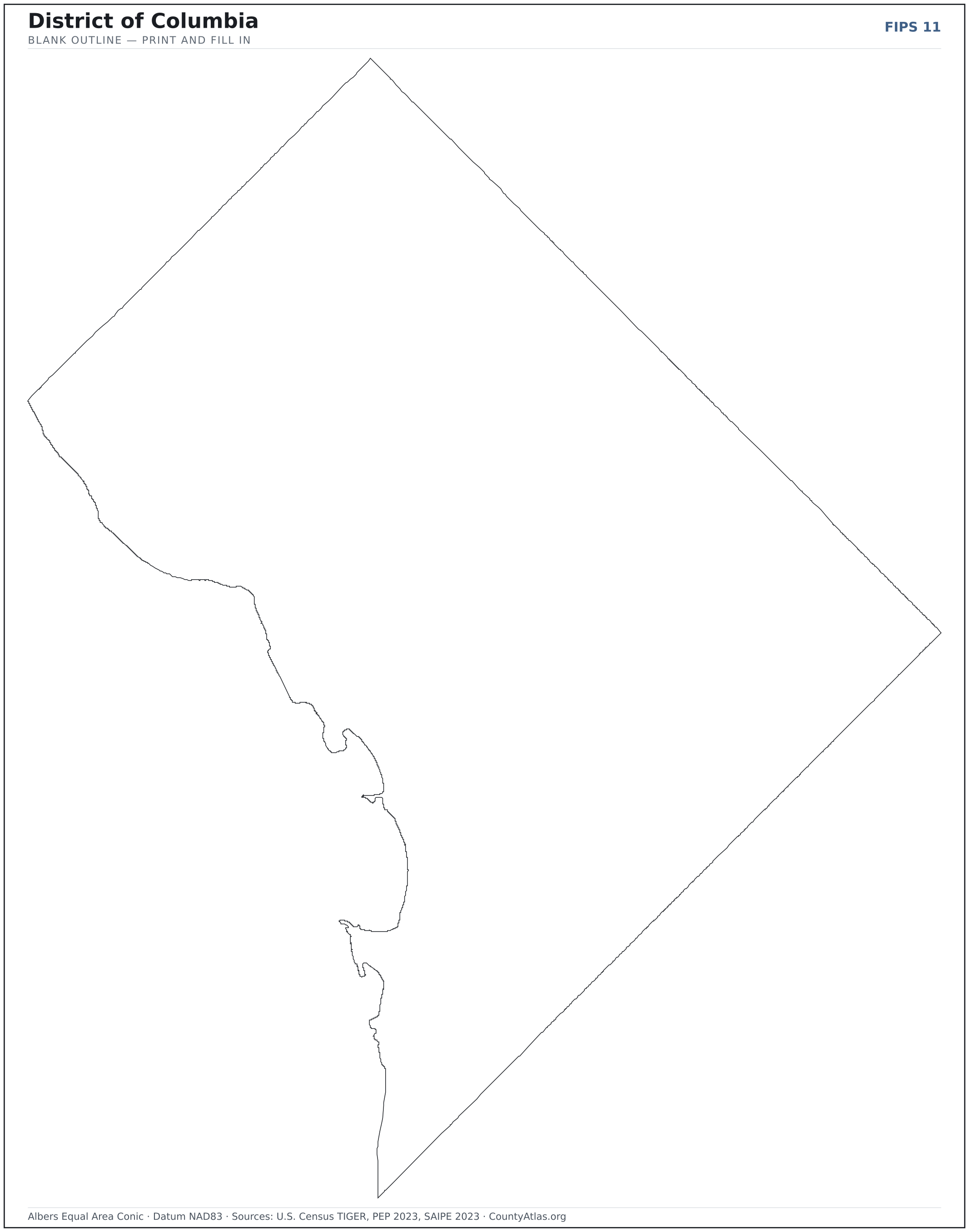
Download & print this District of Columbia map
Cities in District of Columbia
District of Columbia has 1 incorporated cities. The largest is Washington in District of Columbia with 672,079 residents. Use the search on the map above to find any city and highlight the county it sits in.
| Washington | District of Columbia | 672,079 |
A city can span more than one county; each is listed in its primary county — the one its center falls in.
Sources & vintages
- Population — PEP Vintage 2023 (July 1, 2023) — pep/charv
- Median household income & poverty — SAIPE 2023
- Unemployment — BLS LAUS May 2026 (preliminary)
- Geometry & boundaries — Census TIGERweb
- Cities & city population — Census TIGERweb Incorporated Places + ACS 5-year 2019–2023
Data current through .